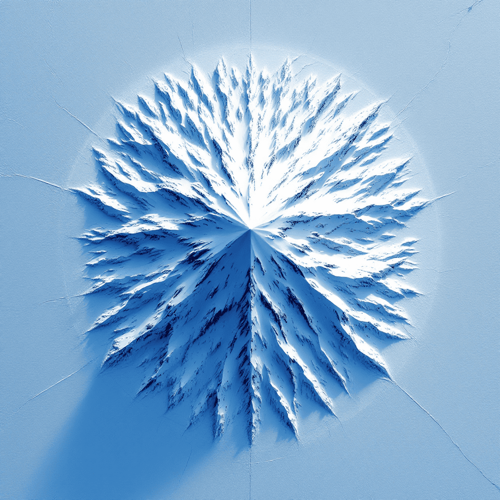
Are there pyramids in Antarctica? The question sounds absurd until you see the satellite images. Triangular formations rise from the ice near the Ellsworth Mountains, their symmetry too precise to dismiss as random geology. Images captured by NASA and Google Earth between 2012 and 2016 show at least three pyramid-shaped structures, each with smooth faces and sharp apex points that natural erosion doesn’t typically produce. The official explanation is simple: they’re nunataks, mountain peaks protruding through ice sheets. But when researchers measure the angles, trace the ridgelines, and overlay these formations against known geological patterns, the simple answer becomes harder to defend.
What the Satellite Evidence Actually Shows
The structures first gained attention when satellite mapping revealed formations at coordinates approximately 79°58’39.25″S 81°57’32.21″W. These aren’t isolated anomalies. Multiple formations across the continent share similar characteristics: triangular profiles, four-sided symmetry, and angles clustering near 50 to 52 degrees. That range is significant. Natural pyramidal peaks exist, but they rarely maintain uniform angles across multiple faces. Erosion patterns follow water flow, wind direction, and fault lines. What satellite imagery reveals in Antarctica are formations that defy those patterns, structures whose faces appear uniform despite exposure to some of the harshest weathering conditions on Earth.
Independent researchers using Google Earth imaging technology have cataloged at least six potential pyramid structures across the continent. Some sit inland beneath thick ice. Others protrude near coastal regions where glacial retreat has exposed rock. The largest visible formation spans roughly 1.2 kilometers at its base, comparable to structures at Giza. The precision in these measurements comes from the same satellite mapping tools used by geologists worldwide, tools that don’t typically generate controversy when applied to any other landmass.
Why Antarctica Was Ice Free
The continent wasn’t always frozen. Geological records confirm Antarctica supported temperate forests and diverse ecosystems as recently as 35 million years ago during the Eocene epoch. But the timeline relevant to human presence is far more recent. Ice core samples and sediment analysis reveal periods of partial glaciation and warming cycles throughout the Pleistocene, with some coastal regions remaining ice free or seasonally accessible as late as 12,000 years ago. That window coincides precisely with the Younger Dryas catastrophe explored across evidence of lost civilizations and suppressed archaeology, the same event that reset global sea levels and buried coastal settlements worldwide.
The Piri Reis map of 1513 and the Oronteus Finaeus map of 1531, both examined in Chapter 12 of Master Thyself, show Antarctic coastline details that shouldn’t exist if the continent had been fully glaciated for millions of years. Mainstream cartography dismisses these as speculative, but the maps weren’t created in isolation. They reference older source charts, some reportedly from the Library of Alexandria. If those charts encode pre-flood geography, then the pyramids in Antarctica aren’t anomalies. They’re confirmations.
The Geological Counterargument
Geologists point to nunataks as the rational explanation. A nunatak is a mountain peak that pierces through an ice sheet, and Antarctica has thousands of them. The Ellsworth and Queen Maud mountain ranges contain dozens of exposed peaks with angular profiles. Wind scour and freeze-thaw cycles can sharpen ridges into blade-like edges. But this explanation stumbles when applied to the specific formations under scrutiny. Natural peaks don’t produce matching angles across opposite faces. Erosion is chaotic, not symmetrical. The structures visible in satellite imagery maintain geometric consistency that natural weathering disrupts, not creates.
Thermal erosion patterns show another problem. Ice doesn’t melt uniformly. Dark rock absorbs solar radiation and melts surrounding ice asymmetrically, creating irregular exposure patterns. Yet the pyramid formations show clean, even exposure across all visible faces. If these were ordinary peaks, we’d expect one side to show more ice retention, another to show more melt scarring. Instead, the formations appear balanced, as though their geometry itself resists the randomness of natural processes.
What Suppression Looks Like Today
Antarctica is the only continent governed by international treaty rather than sovereign nations. The Antarctic Treaty System, signed in 1959 and expanded through the Protocol on Environmental Protection in 1991, restricts access to the continent. On paper, the treaty preserves Antarctica for scientific research and prohibits military activity. In practice, it creates a controlled environment where exploration requires governmental approval, permits are difficult to obtain, and independent researchers face institutional barriers that don’t exist on any other landmass.
Excavation is prohibited without extensive permitting. Satellite data is filtered through governmental and academic institutions before public release. High resolution imagery of certain regions remains classified or unavailable through commercial mapping services. The official justification is environmental protection, but environmental protection doesn’t typically require restricting observational data. You can study the Amazon rainforest, the Sahara, the Himalayas, and the Arctic with relative freedom. Antarctica operates differently. This isn’t speculation. It’s policy, documented and enforced.
In 2016, multiple high-profile figures including then-Secretary of State John Kerry, Russian Patriarch Kirill, and Buzz Aldrin visited Antarctica within months of each other. Aldrin was medically evacuated, later tweeting a since-deleted message about evil at the South Pole. Kerry’s visit was framed as climate observation. Kirill described his trip as a pilgrimage to a Russian research station. The clustering of these visits isn’t proof of conspiracy, but it sits oddly alongside renewed restrictions on independent travel and tightened control over research station access. What happens in Antarctica stays in Antarctica, not by choice but by design.
The Megalithic Connection
If pyramids exist in Antarctica, they wouldn’t be the first megalithic anomaly in a place they shouldn’t exist. Chapter 12 traces a global pattern: precision stonework in Peru, Baalbek, Göbekli Tepe, and Egypt, all sharing construction signatures that predate accepted timelines. The older the layer, the more advanced the work. That inversion defies the linear progress model but matches exactly what satellite evidence suggests in Antarctica. The structures aren’t crude attempts at architecture. They’re refined, geometric, and aligned.
Alignment matters. Many pyramids worldwide are oriented to cardinal points or celestial markers. The Great Pyramid of Giza aligns to true north within 3/60th of a degree. Teotihuacan mirrors Orion’s Belt. If the Antarctic formations are artificial, their orientation would confirm intent. Preliminary analysis suggests at least two of the visible pyramid structures align with solar paths during the austral summer, when the sun circles the horizon rather than rising and setting. That alignment would be meaningless to geology but central to a culture tracking celestial cycles. The data is incomplete because access is restricted, but the fragments available point toward design, not accident.
The Deeper Mechanism
Why build pyramids at all? The chapter material positions them not as tombs or temples alone, but as instruments. Resonant chambers. Geometric amplifiers interacting with planetary energy grids. Göbekli Tepe was buried deliberately after the Younger Dryas, as though its builders were preserving something too important to leave exposed. If Antarctica hosted a pre-flood civilization and the structures there served a similar function, their placement at the pole becomes significant. The Earth’s magnetic field converges at the poles. Telluric currents, planetary resonance, and biological timing linked to lunar and solar cycles all intersect differently at extreme latitudes.
The Antarctic pyramids may have been nodes in a broader system, part of the planetary grid explored across mystery school traditions and encoded into sacred geometry. The specific frequencies these structures were designed to amplify, the relationship between their internal geometry and the human body’s energetic architecture, and the protocols used to activate them are detailed in Chapter 12 of Master Thyself. What remains visible today are the shells. The knowledge of how they functioned was lost when the ice returned, or it was carried forward by survivors into Egypt, Sumer, and the other post-flood civilizations that appeared fully formed.
Advanced Seismic and Radar Imaging
Ground-penetrating radar surveys conducted by international research teams have revealed subsurface anomalies beneath the Antarctic ice sheet. The surveys, designed to map bedrock topography and ice thickness, occasionally detect geometric voids and chamber-like structures that don’t match natural cave formation. These cavities appear in clusters, some aligned along straight paths inconsistent with lava tubes or glacial melt channels. The data is published in peer-reviewed glaciology journals, but the implications are filtered through the lens of natural processes. Alternative interpretations suggesting artificial origin are dismissed before analysis, not after.
Russian scientists at Vostok Station drilled into Lake Vostok, a subglacial lake sealed beneath nearly 4 kilometers of ice for an estimated 15 million years. The lake’s isolation makes it a unique biosphere, but it also makes it a time capsule. Sediment cores from the lake floor could contain evidence of surface conditions from periods when Antarctica was exposed. Those cores exist. The data is classified. Public reports mention microbial life and temperature readings. The rest remains locked behind research protocols that prioritize institutional control over open inquiry.
Connecting Antarctica to the Flood Narrative
Every major flood myth describes a world before the deluge, a time when knowledge was advanced and then lost. The Sumerian account of Ziusudra, the Hebrew account of Noah, the Greek account of Deucalion, and the Hopi memory of the Third World all converge on the same event. That event, identified in Chapter 12 as the Younger Dryas impact and subsequent flooding, erased coastlines where the majority of human civilization had developed. If Antarctica was habitable before the ice returned, it would have been a southern landmass accessible to seafaring cultures, exactly as Plato described Atlantis: beyond the known pillars, larger than familiar territories, and destroyed by earthquake and flood in a single cataclysmic event.
The timing matches. The geography matches. The suppression pattern matches. And now, the structures match. Are there pyramids in Antarctica? The satellite data says yes. Geology says maybe, if you accept coincidences stacking into patterns. Sacred geometry and hidden cosmological structures embedded across ancient sites say these formations are exactly where advanced builders would place them, aligned to poles, embedded in the planetary grid, and designed to survive what was coming.
The Forbidden Continent
The Antarctic Treaty doesn’t just restrict who can visit. It restricts what can be disclosed. Governments and research institutions control data release. Independent exploration requires permits rarely granted. Commercial travel is limited to coastal tourist routes monitored by certified operators. Overflights are restricted. Drone usage is prohibited in most zones. The infrastructure exists to maintain secrecy, whether intentional or incidental. When evidence this significant is difficult to verify independently, the difficulty itself becomes part of the story.
Compare this to other remote archaeological sites. Göbekli Tepe was restricted by local instability, not international law. The Richat Structure in Mauritania sits in a conflict zone, making excavation dangerous but not legally prohibited. Antarctica is unique. It’s the only place on Earth where the entire continent operates under a framework designed to limit inquiry. That framework predates the satellite discoveries. It predates the public awareness of pyramid formations. And it remains in place despite growing evidence that the ice hides more than frozen rock.
The Symbolic Weight of Ice
Ice preserves. It also conceals. The body’s cerebrospinal fluid, the sacred oil explored in the biological mechanism of inner anointing, operates on a similar principle: what is frozen remains dormant, what is warmed and raised becomes active. If Antarctica was once a center of advanced knowledge and that knowledge was encoded into stone, the returning ice didn’t destroy it. The ice became a vault, sealing the evidence beneath kilometers of frozen time until a future generation developed the tools to see through it. We are that generation. The tools exist. The images exist. The only question is whether we’ll look.
What Comes Next
The evidence for pyramids in Antarctica will either be confirmed through excavation or dismissed through continued restriction. Both outcomes tell a story. Excavation would rewrite the human timeline, force a reckoning with the suppressed history traced across Chapter 12, and validate the civilizational reset model that institutions have spent centuries denying. Continued restriction allows the narrative to remain controlled, the evidence to remain ambiguous, and the question to remain unanswered. The pattern is familiar. It’s the same pattern that buried the Nag Hammadi texts, delayed Göbekli Tepe’s excavation, and restricts access to the Vatican Archives. Knowledge capable of destabilizing authority is never destroyed outright. It’s sealed, restricted, and released only when control is assured.
Independent researchers continue mapping the continent through publicly available satellite data. As imaging technology improves and older restrictions expire, more formations are being identified. The pyramid structures near the Ellsworth Mountains are no longer the only candidates. Coastal regions show linear features consistent with roads or canals. Inland areas reveal geometric patterns beneath the ice suggesting organized construction. The data accumulates slowly, but it accumulates. And each new image makes the official explanation harder to defend.
Closing Reflection
Are there pyramids in Antarctica? The satellite evidence, the suppressed exploration, the alignment with flood chronology, and the global pattern of pre-cataclysm construction all point in one direction. These structures exist. They don’t fit the approved timeline. And the systems designed to control historical narrative have every reason to leave them buried. Whether they were built by survivors of Atlantis, an earlier cycle of human advancement, or something else entirely, they stand as proof that civilization is older, more fragile, and more cyclical than we’ve been taught. The ice won’t stay forever. The evidence is already visible. And the question isn’t whether the pyramids are there. The question is what happens when we finally admit it.